
Google has announced a big update for Google Maps that brings more detail and granularity to the map. The new visual improvements will make it easier to understand what an area looks like.
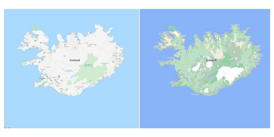
Google claims that its new color-mapping algorithmic technique will help you distinguish between the natural features of a place. You can easily understand if the area has deserts, beaches, mountainous ice caps, or dense forests just by looking at Google Maps.
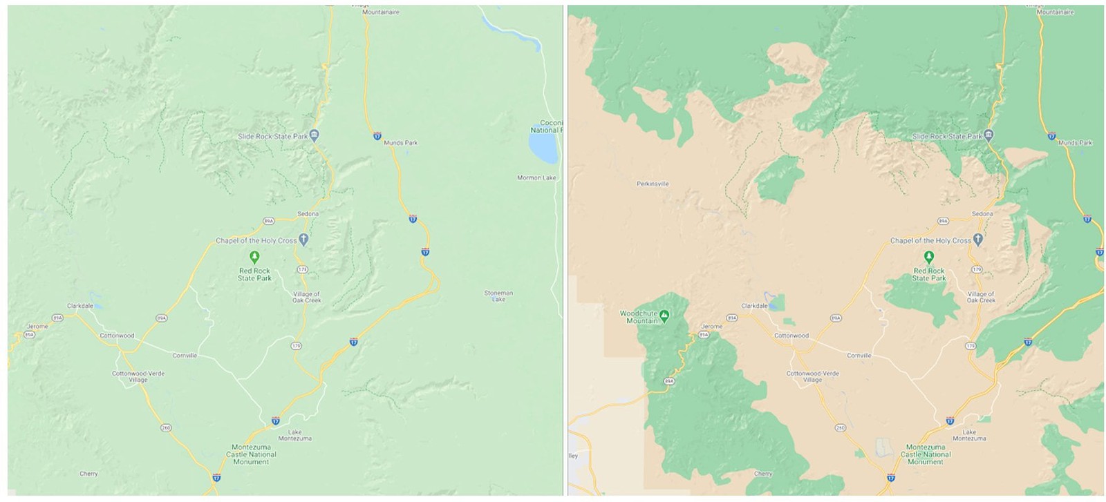
Google has used satellite imagery and new color-mapping algorithmic technique to redesigned Maps. The end result came with much better Maps offering differences between natural features. You can already see the snapshot for comparing previous vs new map images.
Google Maps design is available in all 220 countries and territories where the service is available. The company is also working to offer more detailed views of roads for pedestrians. It aims to provide accurate road shapes and widths, along with the locations of sidewalks, crosswalks, and pedestrian islands.
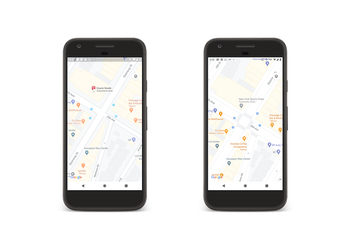
Google will start rolling out the new detailed street maps in London, New York, and San Francisco in the coming months. It will be expanded to more cities over time.